The Advantages of Drone Surveying and Mapping
Across South Africa, organisations are under growing pressure to collect accurate spatial data quickly and safely. Traditional surveying methods often require extended time on site, costly equipment and exposure to hazardous or hard-to-reach terrain.
Drone surveying has changed this completely. By capturing high-resolution imagery and precise measurements from the air, drone technology provides a faster and more reliable way to map land, inspect infrastructure and support large-scale planning.
Modern drone surveys deliver detailed information that planners, engineers and environmental specialists can use with confidence. The ability to combine advanced sensors with intelligent flight planning means data can be captured in a fraction of the time, with significantly lower operational risk.
As industries seek better ways to understand their sites and optimise decision-making, drone surveying has become one of the most valuable tools for accurate and efficient geospatial insight.
What Is a Drone Survey and How Does It Work?
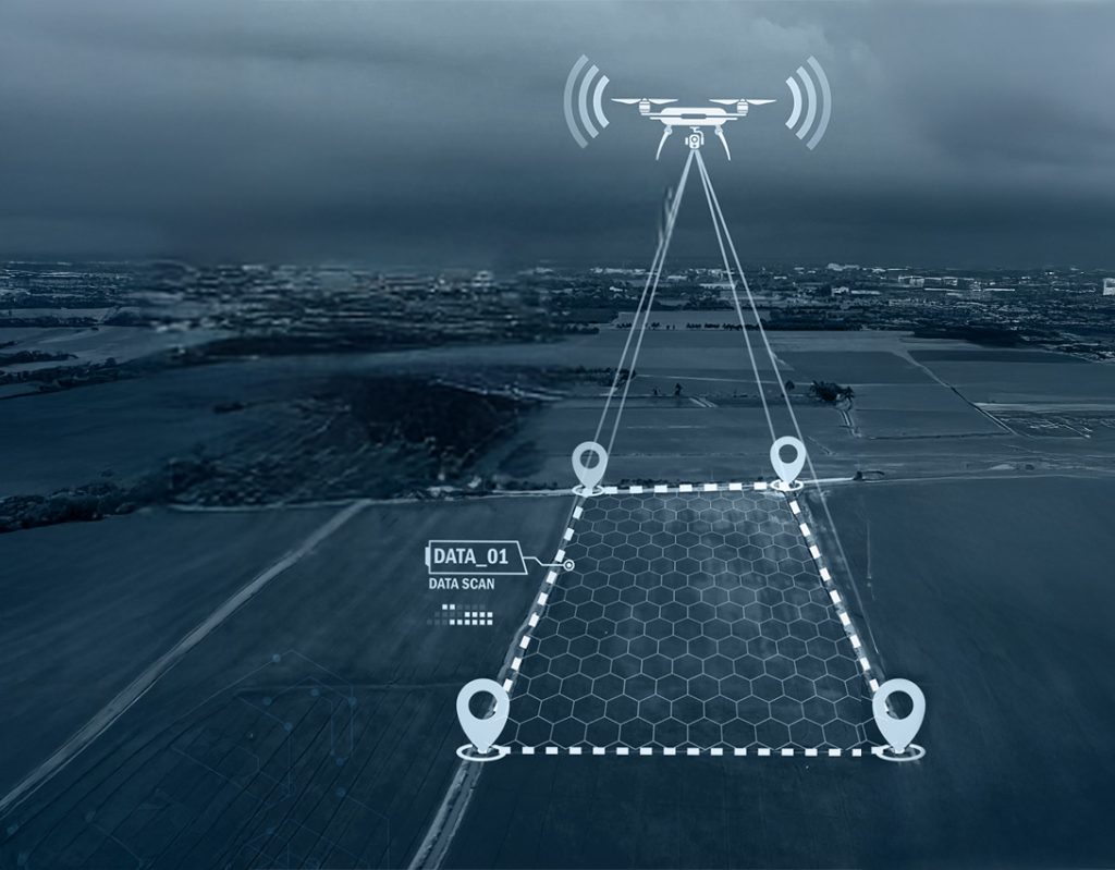
A drone survey is a method of capturing geospatial data using unmanned aerial vehicles equipped with specialised sensors. These aircraft fly predetermined routes to gather high-resolution images, elevation points and surface information that can be processed into accurate maps and models.
This approach allows surveyors to collect detailed site data without the need for extensive ground-based measurement.
Drone Survey Methodology: How Accurate Data Is Captured
A professional drone survey follows a consistent workflow that ensures accuracy, reliability and repeatability. Each stage contributes to the quality of the final geospatial outputs and helps teams collect data that meets engineering and environmental requirements.
- Flight planning: the process starts with a detailed flight plan. Survey boundaries, altitude, flight paths and image overlap are defined to guarantee full coverage and uniform data quality across the site.
- Choice of sensors: The sensor selection is aligned with the project’s needs. Photogrammetry delivers high-resolution images and 3D models. LiDAR provides precise elevation data and can capture ground levels beneath vegetation. Multispectral sensors support vegetation analysis and environmental monitoring.
- Ground control points: ground control points are positioned on the ground to tie aerial data to known coordinates. These markers help improve positional accuracy and ensure maps and measurements meet engineering-grade standards.
- Data processing pipelines: once the flight is completed, the data is processed in specialised software. This includes aligning imagery, creating point clouds, generating terrain models and running accuracy checks. The result is a set of detailed, actionable outputs ready for planning and decision-making.
The Role of Drone Surveying Software in Modern Mapping
Drone surveying software is the backbone of modern mapping because it determines how accurate, usable and dependable the final outputs are. In industries like mining, civil engineering and solar energy, even small measurement errors can lead to costly delays, incorrect volumes or flawed designs. Accurate software ensures that the data captured in the air is translated into precise geospatial models that teams can trust for planning and compliance.
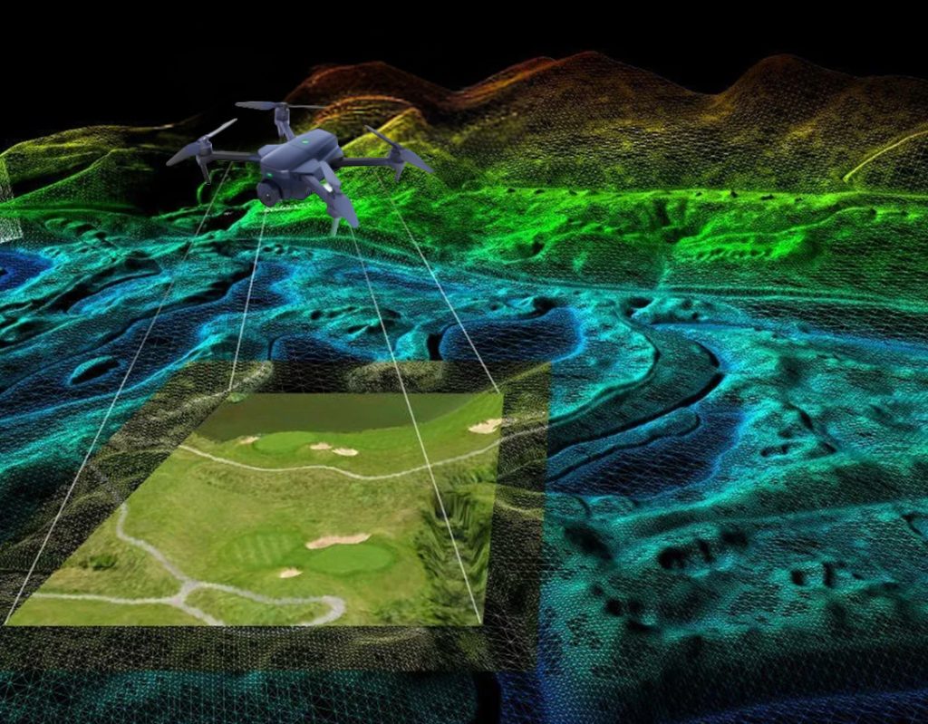
Powerful processing platforms take the raw aerial data from a drone survey and convert it into a range of highly detailed mapping products:
- Orthomosaic maps: high-resolution, distortion-free images stitched together into a single map. These maps are used for boundary mapping, surface analysis and visual inspections across large sites.
- 3D models: software generates textured 3D meshes and point clouds that replicate real-world structures. Engineers use these models to detect defects, analyse slopes and understand the spatial relationships of assets.
- Elevation profiles: vertical cross-sections of terrain that reveal gradients, drainage paths and elevation changes. These are essential for civil works, road design and environmental studies.
- Contour maps: contours provide a simplified visualisation of site topography. They support bulk earthworks planning, cut-and-fill estimation and environmental restoration projects.
- Volumetric calculations: software can calculate stockpile volumes, excavation quantities and material movements with precision. This is especially valuable for mining, construction and agricultural operations where accurate volumes drive financial and operational decisions.
6 Key Advantages of Drone Surveying
Drone surveying offers a range of practical advantages that are especially valuable for sectors such as mining, civil engineering, renewable energy and large-scale construction in South Africa. These benefits improve project timelines, reduce risk and provide teams with richer, more frequent insights.
1. Faster Data Collection
Drones can survey large or complex areas in a fraction of the time required by traditional ground teams. This speed allows projects to progress with fewer delays and supports faster decision-making.
2. Safer Access to Hazardous or Remote Areas
Drones reach locations that are difficult or dangerous for people to enter. High walls, unstable slopes, tailings dams and remote infrastructure can all be surveyed without exposing teams to unnecessary risk.
3. High-Resolution Outputs
Advanced sensors and professional drone survey methodology deliver detailed, high-quality imagery and elevation data. These outputs support engineering-grade accuracy for design, compliance and monitoring.
4. Reduced Site Disruption
Drones operate above the work area. This means fewer interruptions to production, less time spent diverting personnel and no need to shut down operations during a survey.
5. Lower Operational Costs
Faster data capture, smaller field teams and minimal equipment reduce overall survey costs. Businesses also avoid the expenses associated with manual access, scaffolding and repeated site visits.
6. More Frequent Reporting for Asset Management
Because drone surveys are efficient and cost-effective, organisations can increase the frequency of inspections. This supports better long-term maintenance planning and early detection of structural or environmental changes.

The Value of Drone Topographic Survey Data for Planning and Development
Drone topographic survey data plays a vital role in planning, development and ongoing asset management across South Africa.
High-resolution elevation models give engineers, environmental specialists and project managers the accurate ground information they need to design safely and build with confidence.
In environmental studies, drone-generated topography helps identify natural features, sensitive areas and vegetation patterns that must be protected during development. This same data is crucial for flood-line assessments, where precise elevation readings allow specialists to map water flow, predict flood risks and ensure compliance with environmental regulations.
Infrastructure design also benefits significantly from drone-derived terrain models. Roads, pipelines, solar farms and utility networks can be planned with a clearer understanding of gradients, soil behaviour and natural obstacles.
As construction progresses, regular drone surveys provide verifiable records of on-site activities, making it easier to track progress, compare as-built conditions with design plans and identify delays early.
In the mining sector, tailings dam monitoring is strengthened through frequent drone surveys, which provide up-to-date elevation data needed to detect structural movement, manage risk and meet stringent safety requirements.
Overall, drone topographic surveys offer decision-makers accurate, consistent and timely data that supports responsible development and long-term sustainability.
Choosing the Best Drone for Surveying Different Environments
Selecting the right drone for a surveying project depends on the site, the type of data required and operational constraints. Two common drone types are fixed-wing and multirotor drones.
- Fixed-wing drones: are ideal for covering large areas quickly and efficiently; they offer longer flight times and can fly greater distances, making them suitable for mining sites, agricultural land or extensive infrastructure projects.
- Multirotor drones: are highly manoeuvrable and excel in detailed inspections, urban environments or locations with complex terrain. They can hover, change direction quickly and capture high-resolution imagery from multiple angles.
Payload selection is another key consideration. Photogrammetry cameras are commonly used for high-definition mapping and 3D modelling. LiDAR sensors are preferred when precise elevation data is needed, particularly in areas with dense vegetation or challenging terrain. Multispectral sensors are valuable for environmental monitoring, detecting vegetation health or assessing land conditions. The choice of payload directly influences the quality and type of data collected.
Range, endurance and terrain must also be factored into drone selection. Sites with vast distances, rough terrain or limited landing zones require drones with extended battery life, reliable signal transmission and the ability to operate safely under local environmental conditions. By matching the drone type, payload and operational capabilities to the survey environment, teams can ensure efficient, accurate and safe data collection for every project.
Why UDS Is a Trusted Provider of Drone Surveying Services
At UDS, we provide expert drone surveying and mapping solutions, delivering accurate, reliable and actionable data for projects across multiple industries. Key reasons our clients trust us include:
- Advanced sensors: we use cutting-edge sensors to capture detailed geospatial information for mapping, modelling and environmental monitoring.
- Highly skilled survey and inspection department: our team brings extensive experience and specialised knowledge, ensuring professional execution and data quality on every project.
- Proven accuracy across industries: we consistently deliver precise survey results in industries where accuracy and reliability are essential. Industries we service include mining, civil, environmental and renewable sectors.
- Safer, faster and more reliable data collection: our drone technology minimises risk for personnel, accelerates project timelines and provides consistent high-resolution outputs.
Contact us today to discuss a customised drone surveying and mapping solution tailored to your site and project requirements.
GET IN TOUCH
CONTACT US